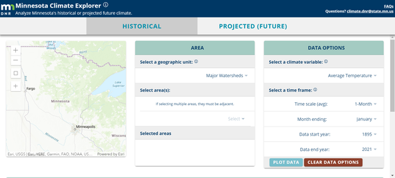
In 2020, using CMIP5 climate projections produced by MCAP affiliates Tracy Twine and Stefan Liess, the Minnesota Department of Natural Resources launched its new Climate Explorer Tool.
This tool allows you to visualize both historical climate data and future climate data. You can explore temperature, precipitation, and drought severity data for the entire state of Minnesota or for the sub-region of your choosing. These data were generated from dynamically downscaled models with a 10km (6 mile) resolution. Data are available for the modeled "present" (1980-1999), the years 2040-2059 (RCP4.5 projections only), and the years 2080-2099 (RCP4.5 and RCP8.5).